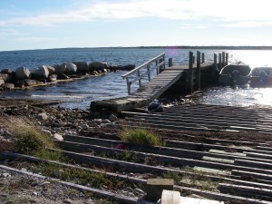
 Location : Ingomar Road
Shoreline: stone and gravel
Type of access: gravel road
Parking: yes
Public slipway: yes
Public concrete ramp: yes
Topographic reference: 20p/11 (Lockeport)
Marine chart # 4241(Lockeport-Cape Sable)
UTM grid: E0308919 Â N4826339
Latitude: N 43° 34.056’ /Longitude :W 65° 21.913′
Â
Â
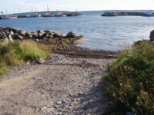
 Location: Black Point Road
Shoreline: rock and beach stone
Type of access: paved road
Parking: yes
Government  wharf: yes
Public slipway: no
Public concrete ramp: no, gravel access
Topographic reference: 20p/11(Lockeport)Marine chart #4241 (Lockeport-Cape Sable)
UTM grid: E0309172 Â N4825978
Latitude: N 430 33.810′ /Longitude: W 650 21.686
Â
Â
Weather permitting Cape Negro Island is easily paddled to from Ingomar. Â You will usually find local fishermen around the wharves, they are very helpful and knowledgeable about the weather and tides. Take time to inquire if you are new to the area, they have a wealth of knowledge to share!
