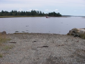
 Location: Public Wharf Road
Shoreline: mixed
Type of access: gravel road
Parking: yes
Government wharf: no
Public slipway: no
Public concrete ramp: no, gravel access
Topographic reference: 20 p/13 (Tusket)
Marine chart # 4244 (Wedgeport and vicinity)
UTM grid: E0259626 (60)Â Â N4848847 (49)
Latitude: N 43° 45.333’ /Longitude: W 65° 59.116′
Public access
At the exit for Wedgeport there is a Shell Garage, snacks, and drinks.Wedgeport has a gas station, QuickMart, takeout food, and Café at Tuna Wharf.
