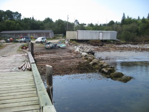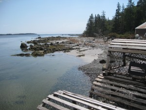
 Location: Port L’Hebert Wharf
Shoreline: rocky and gravel
Type of access: paved road then turning to gravel road
Parking: yes
Government wharf: yes
Public slipway: yes
Topographic Reference: 20 p/15 and 20 p/10(combined) Port Mouton
Marine chart #: 4240 (Liverpool-Lockeport)
UTM grid: 03/31040Â Â 48/43144
Latitude: N 43° 48.502′ / W Longitude:64° 55.822′
Public access. yes
Drive along on the #103 highway to Sable River, turn left by Chef’s Table Restaurant.(East Sable Road)approximately 7.5 kils to Wolfes Road, turn left to wharf.
No ammenities at this site.
