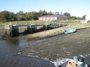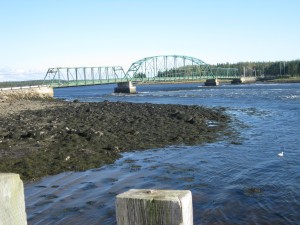
 Location: Wharf just before iron bridge (Indian Sluice )
Shoreline: rocky, gravel
Type of access: paved road
Parking: yes
Government wharf: yes
Public slipway: yes
Public concrete ramp: no, gravel access
Topographic reference: 20 p/13 (Tusket)
Marine chart # 4244 ( Wedgeport and vicinity)
UTM grid: Â E0262574 (62) Â Â N4850689 (51)
Latitude: 43° 46.387′ / Longitude: 65° 56.953′
Public access
At Sluice Point the experienced paddler has easy access to the many islands in Lobster Bay, or paddle around Surettes Island and Morris Island coming back to access point. Keep in mind the high tides here and current under the bridge.
