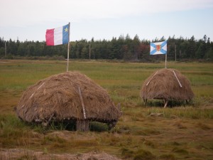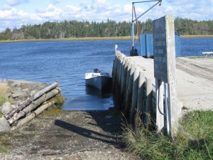
 Location: rockweed wharf
Shoreline: gravel, rocky
Type of access: gravel road
Parking: yes
Gravel access
Topographic reference: 20 p/13 (Tusket)
Marine chart # 4244 (Wedgeport and vicinity)
UTM grid: E0263897Â (64) Â Â N4856345 (56)
Latitude: 43° 49.466 / Longitude: 65° 56.133Â
Name of owner: Municipality of Argyle
Public access
There are no services on this road, come prepared with provisions.
