19. Nicholas Road Wharf

 Â
Location: Nicholas Road (wharf and breakwater)
Shoreline: rocky
Type of access: paved road
Parking: yes
Government wharf: yes
Public slipway: no
Public concrete ramp: yes
Topographic reference: 20 p/12 (Pubnico)
Marine chart # 4244 (Wedgeport and vicinity)
UTM grid: E0260672 (61) Â N 0844271 (44)
Latitude: n 43° 42.848 / Longitude: W 65° 58.230′
Public access
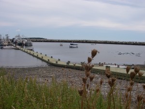
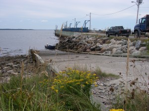
On either side of the wharf is a launch site first one being a concrete ramp and on the other side of the wharf is a floating dock.
Nicolas Road is directly across from Tuna Wharf Road in Lower Wedgeport or you can take Dominique Road to get to the wharf.
