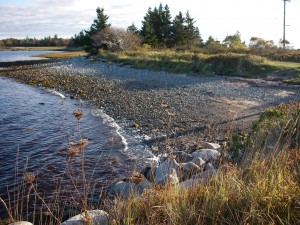
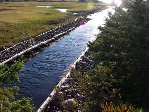
The haulover is located here, this narrow canal is said to have been completed in the early 1800’s. Before this time the natives used this as a portage between Port La Tour and Cape Negro Harbour. This canal can still be used by canoes, kayaks and other small boats except on very low tides thus connecting Port La Tour and Negro Harbour.This provided a safer and shorter route than paddling around Blanche Point especially on a windy day.
Blanche and surrounding area is a very popular birding site for shorebirds, ducks geese, comorants and Northern Gannets. Although there is no specific walking trail here there are many places to explore along the coast.


