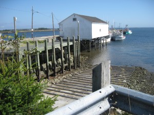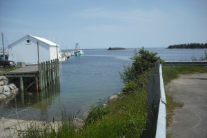
 Location: Shag Harbour Wharf
Shoreline: rocky
Type of access: paved road
Parking: yes
Government wharf: yes
Public slipway: yes
Public concrete ramp: yes
Topographic reference: 20 p/5 (Cape Sable Island)
Marine chart # 4210 (Cape Sable -Pubnico Harbor)
UTM grid: E0281045 Â N4818936
Latitude: N 43° 29.204’/Longitude: W 65° 42.431′
Â
Shag Harbour is located along the coast of the Lighthouse Route, getting its name from the numerous amounts of cormorants or “shags†often sited in the harbour.
Good contacts for information in the area are Lee and Carlene Adams: (902) 723-2899. Lee and Carlene welcome kayakers to tent in their yard for $10.00 per night and they live right in Shag Harbour They are willing to be of assistance to pick up or drop off kayaks at the wharf if you are tenting at their home.
The Municipality of Barrington built a gazebo located at the site of the 1967 UFO sighting. This rest stop overlooks the site of the 1967 UFO crash into Cockerwit channel. The gazebo also includes washroom facilities.The UFO Museum is located in Shag Harbour visit their website:www.shagharbourufo.com
website: www.shagharbourufo.com
